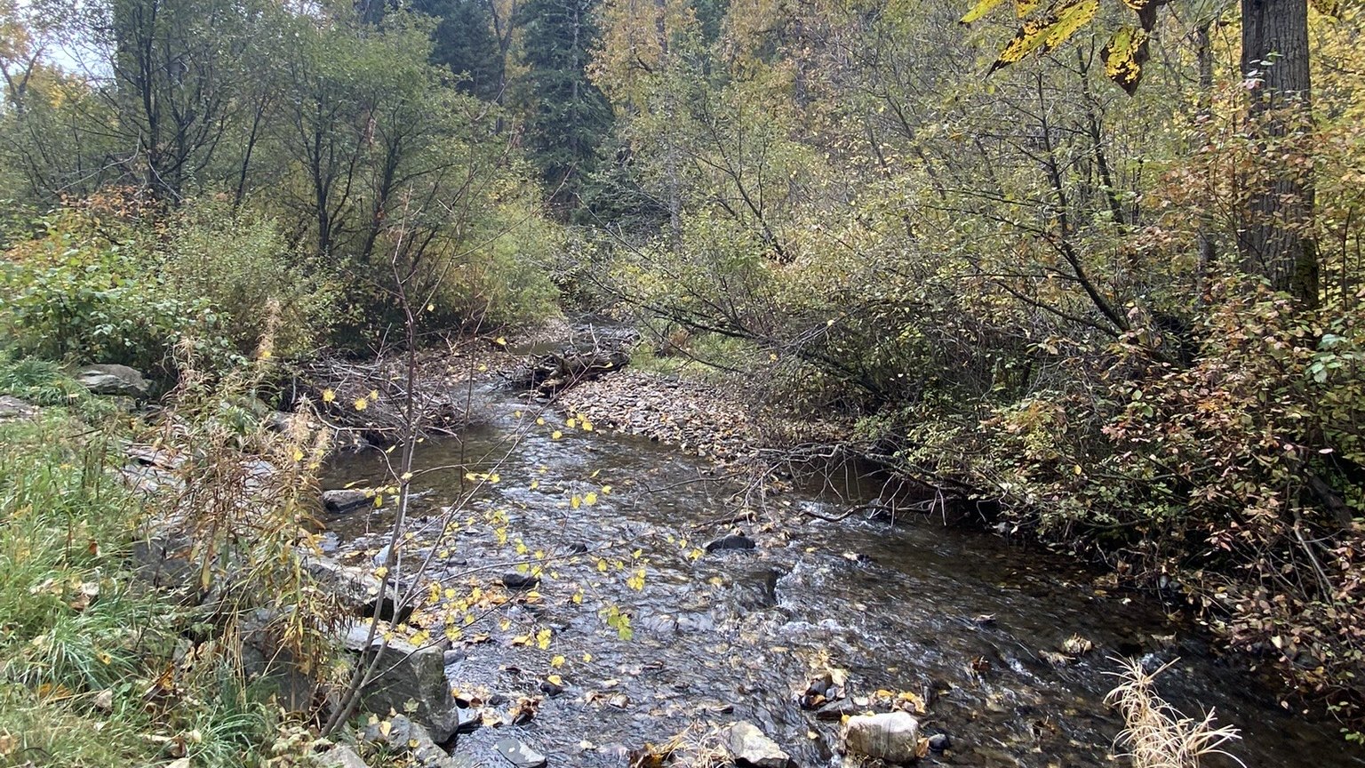

For the first time, Bozeman can see how much snow is sitting at the top of the creek that supplies about 40% of its drinking water. A weather and snow station built by Montana State University researchers started recording this fall at the headwaters of Bozeman Creek, with money from the city and NASA.
The station sits on a city-owned parcel inside the Custer Gallatin National Forest, a few miles past Mystic Lake, MSU said in an announcement. Bozeman has never had snowpack measurements in that watershed, even though the creek, also called Sourdough Creek, is one of its three water sources. Hyalite Creek and Lyman Spring supply the rest.
That gap matters in a fast-growing city that already restricts outdoor watering when drought gets bad. Snow stored in the mountains above town is, in effect, the city’s summer water supply.
What the station measures
The station records snow depth, snow water equivalent, precipitation, temperature, wind speed and direction, relative humidity, air pressure and solar radiation. It also carries a lidar camera and sends its data out over a Starlink connection.
“These will be measurements that we can use to calculate how much water is being stored in the snowpack, and also how fast it is melting,” said Eric Sproles, an associate professor of Earth sciences who directs MSU’s Geospatial Core Facility and led the installation, in the university’s release.
Its sensors add to what nearby SNOTEL sites run by the Natural Resources Conservation Service already collect. Those federal sites drive the snowpack numbers that feed into how drought is measured in Montana, but none sat in the Bozeman Creek basin itself.
The design copies the network of stations the Montana Climate Office at the University of Montana has been building since a $21 million U.S. Army Corps of Engineers grant in 2020, most of them on farmland. This one sits much higher.
Who paid, and why NASA cares
The project cost the city about $30,000 for equipment. NASA’s Western Water Action Office gave MSU $100,000 because the site lies under a high-repeat orbit path for NISAR, the radar satellite NASA built with India’s space agency. NISAR’s radar can see into a snowpack, and MSU will compare the ground readings with what the satellite reports to help NASA check its accuracy.
“It’s really a win-win,” said Jessica Ahlstrom, Bozeman’s water conservation program manager. “MSU gets instrumentation to support their research goals, and the city gets additional data to help inform its water resource planning efforts.”
Getting it built was a haul. MSU said a four-wheel-drive vehicle could only go part of the way up the dirt road, and the crew carried poles, sensors and solar panels the last 2 miles. Senior snow science major Sam Pruitt, who made three trips to the site this fall, helped drill anchors and troubleshoot a sensor, and has proposed an independent study this spring to check that the sensors are reading correctly.
How the city will use it
Ahlstrom said the data will feed two things: the city’s drought management plan, which sets water restrictions in stages as conditions worsen, and its integrated water resource plan, which looks 50 years ahead at supply. The station should show more precisely when the snow melts and how that timing is shifting, she said.
The first full winter of readings starts now, with the melt in spring giving the first test of how the creek responds. Bozeman’s growth, tracked in projects like the 112-unit Compass Apartments, keeps raising the stakes on that water. More coverage is in our Energy & Environment section.
Add The Montana Statesman as a preferred source on Google (opens in a new tab)